Dernière modification / Last update: 13 novembre 2018
| Code |
BGCO | |||||||||||||||||||||||||
|---|---|---|---|---|---|---|---|---|---|---|---|---|---|---|---|---|---|---|---|---|---|---|---|---|---|---|
| Coordonnées Coordinate |
|
|||||||||||||||||||||||||
| Pays Country |
Groenland | |||||||||||||||||||||||||
| Type de trafic Type of traffic |
VFR, IFR | |||||||||||||||||||||||||
| VFR nuit Night VFR |
Oui / Yes | |||||||||||||||||||||||||
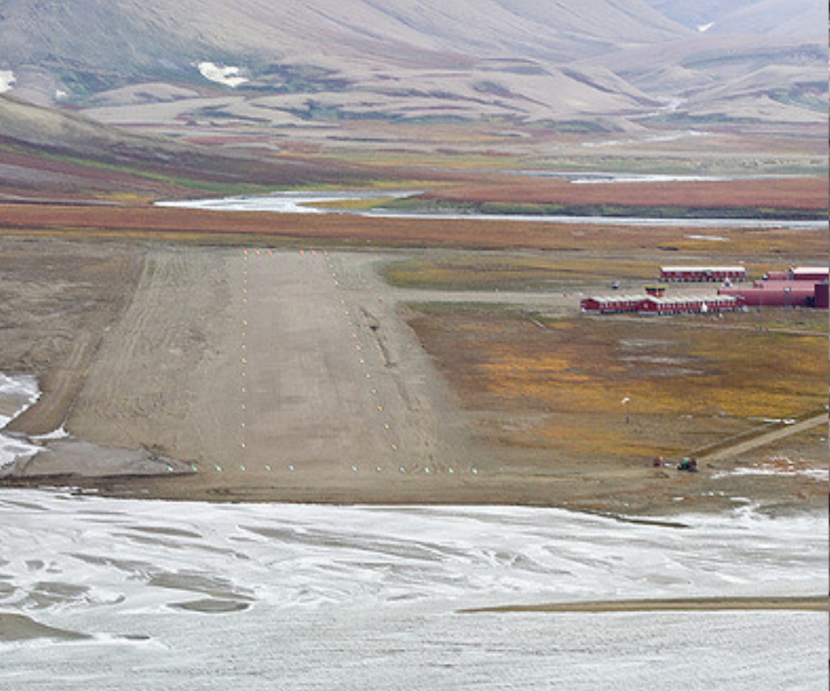
| Pistes Runways |
|
|||||||||||||||||||||||||
| Radio ATC |
|
|||||||||||||||||||||||||
| Altitude de référence Reference elevation |
45 ft | |||||||||||||||||||||||||
| Déclinaison Magnetic varation |
18° W | |||||||||||||||||||||||||
| Gestionnaire de l'AD AD administration |
Mittarfeqarfiit +299 38 28 81 |
|||||||||||||||||||||||||
| Douanes Customs |
HOR AD avant 1300 sinon PPR 9HR / before 1300 otherwise PPR 9hr |
|||||||||||||||||||||||||
| ATS |
HOR AD |
|||||||||||||||||||||||||
| HOR AD |
Lun → Sam / Mon → Sat 1000 – 1700 |
|||||||||||||||||||||||||
| AVT |
JET A1 |
|||||||||||||||||||||||||
| NDB / VOR-DME |
NDB CP 386 kHz |
|||||||||||||||||||||||||
| Aéroclub / Ecole de pilotage Flying club / Flying school |
NIL |
|||||||||||||||||||||||||
| Restaurant Restaurant |
NIL |
|||||||||||||||||||||||||
| Vidéos Videos |
||||||||||||||||||||||||||
| Liens Links |
||||||||||||||||||||||||||
| Carte - Hôtel Map - Hotel |
Booking.com | |||||||||||||||||||||||||