Dernière modification / Last update: 30 janvier 2020
| Code |
EDHF | |||||||||||||||||||||||||
|---|---|---|---|---|---|---|---|---|---|---|---|---|---|---|---|---|---|---|---|---|---|---|---|---|---|---|
| Coordonnées Coordinate |
|
|||||||||||||||||||||||||
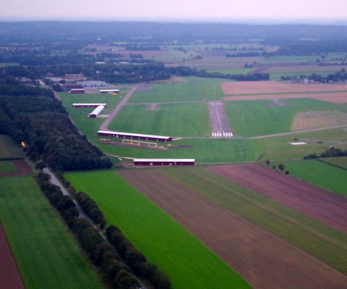
| Pays Country |
Allemagne | |||||||||||||||||||||||||
| Type de trafic Type of traffic |
VFR | |||||||||||||||||||||||||
| VFR nuit Night VFR |
Non / No | |||||||||||||||||||||||||
| Pistes Runways |
|
|||||||||||||||||||||||||
| Radio ATC |
|
|||||||||||||||||||||||||
| Altitude de référence Reference elevation |
82 ft | |||||||||||||||||||||||||
| Distance de la ville Distance of the city |
6 km NW Hohenlockstedt | |||||||||||||||||||||||||
| Gestionnaire de l'AD AD administration |
Itzehoer Luftsportverein +49 4826 5065 |
|||||||||||||||||||||||||
| Douanes Customs |
NIL |
|||||||||||||||||||||||||
| HOR AD |
Hiver / Winter 0800 - SS Eté / Summer 0700 - SS (MAX 1800) |
|||||||||||||||||||||||||
| AVT |
100 LL |
|||||||||||||||||||||||||
| Aéroclub / Ecole de pilotage Flying club / Flying school |
Cf Gestionnaire AD |
|||||||||||||||||||||||||
| Restaurant Restaurant |
En ville / In the City |
|||||||||||||||||||||||||
| Taxis Taxis |
Taxi Schirrow +49 4893 376788 Steiniger Taxen +49 4826 375560 |
|||||||||||||||||||||||||
| Vidéos Videos |
||||||||||||||||||||||||||
| Liens Links |
||||||||||||||||||||||||||
| Carte - Hôtel Map - Hotel |
Booking.com | |||||||||||||||||||||||||