Dernière modification / Last update: 16 juillet 2018
| Code |
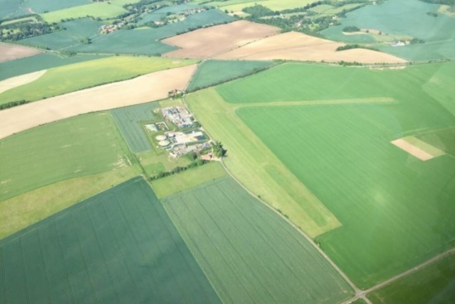
EG Chiltern | |||||||||||||||||||||||||
|---|---|---|---|---|---|---|---|---|---|---|---|---|---|---|---|---|---|---|---|---|---|---|---|---|---|---|
| Coordonnées Coordinate |
|
|||||||||||||||||||||||||
| Pays Country |
Royaume-Uni | |||||||||||||||||||||||||
| Type de trafic Type of traffic |
VFR | |||||||||||||||||||||||||
| VFR nuit Night VFR |
Non / No | |||||||||||||||||||||||||
| Pistes Runways |
|
|||||||||||||||||||||||||
| Radio ATC |
|
|||||||||||||||||||||||||
| Altitude de référence Reference elevation |
180 ft | |||||||||||||||||||||||||
| Distance de la ville Distance of the city |
23 km NW Oxford | |||||||||||||||||||||||||
| Gestionnaire de l'AD AD administration |
Chiltern Airsports Centre +44 1491 875200 info@chilternairsports.com |
|||||||||||||||||||||||||
| Douanes Customs |
NIL |
|||||||||||||||||||||||||
| ATS |
SS → SR |
|||||||||||||||||||||||||
| PPR |
Oui / Yes par téléphone / by telephone +44 7739 802 010 |
|||||||||||||||||||||||||
| AVT |
NIL |
|||||||||||||||||||||||||
| Aéroclub / Ecole de pilotage Flying club / Flying school |
Skydiving London +44 800 009 3014 office@skydivecentre.com |
|||||||||||||||||||||||||
| Restaurant Restaurant |
En ville / In the city |
|||||||||||||||||||||||||
| Taxis Taxis |
Airpal Taxis +44 7862 721698 Mudochs Taxi +44 1491 875875 |
|||||||||||||||||||||||||
| Vidéos Videos |
||||||||||||||||||||||||||
| Liens Links |
||||||||||||||||||||||||||
| Carte - Hôtel Map - Hotel |
Booking.com | |||||||||||||||||||||||||