Dernière modification / Last update: 17 juillet 2018
| Code |
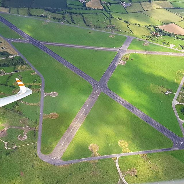
EG Keevil | |||||||||||||||||||||||||
|---|---|---|---|---|---|---|---|---|---|---|---|---|---|---|---|---|---|---|---|---|---|---|---|---|---|---|
| Coordonnées Coordinate |
|
|||||||||||||||||||||||||
| Pays Country |
Royaume-Uni | |||||||||||||||||||||||||
| Type de trafic Type of traffic |
VFR | |||||||||||||||||||||||||
| VFR nuit Night VFR |
Non / No | |||||||||||||||||||||||||
| Pistes Runways |
|
|||||||||||||||||||||||||
| Radio ATC |
|
|||||||||||||||||||||||||
| Altitude de référence Reference elevation |
39 ft | |||||||||||||||||||||||||
| Distance de la ville Distance of the city |
9 km E Trowbridge | |||||||||||||||||||||||||
| Gestionnaire de l'AD AD administration |
Station Operations RAF Brize Norton +44 1993 895315 / 1993 897554 |
|||||||||||||||||||||||||
| Douanes Customs |
NIL |
|||||||||||||||||||||||||
| HOR AD |
SS → SR |
|||||||||||||||||||||||||
| PPR |
Oui / Yes par téléphone / by telephone +44 1993 895315 / 1993 897554 |
|||||||||||||||||||||||||
| AVT |
NIL |
|||||||||||||||||||||||||
| Aéroclub / Ecole de pilotage Flying club / Flying school |
Bannerdown Gliding Club +44 1380 870 411 / 7958 570 587 |
|||||||||||||||||||||||||
| Restaurant Restaurant |
En ville / In the city |
|||||||||||||||||||||||||
| Taxis Taxis |
A&P Taxis +44 1225 706133 1 2 3 Taxis +44 1225 763743 |
|||||||||||||||||||||||||
| Vidéos Videos |
||||||||||||||||||||||||||
| Liens Links |
|
|||||||||||||||||||||||||
| Carte - Hôtel Map - Hotel |
Booking.com | |||||||||||||||||||||||||