Dernière modification / Last update: 15 avril 2019
| Code |
EIRT | |||||||||||||||||||||||||
|---|---|---|---|---|---|---|---|---|---|---|---|---|---|---|---|---|---|---|---|---|---|---|---|---|---|---|
| Coordonnées Coordinate |
|
|||||||||||||||||||||||||
| Pays Country |
Irlande | |||||||||||||||||||||||||
| Type de trafic Type of traffic |
VFR | |||||||||||||||||||||||||
| VFR nuit Night VFR |
Non / No | |||||||||||||||||||||||||
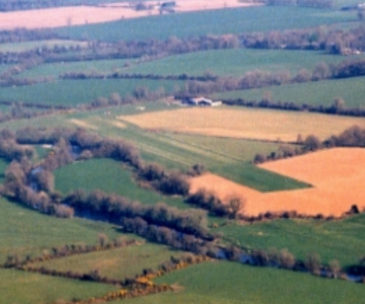
| Pistes Runways |
|
|||||||||||||||||||||||||
| Radio ATC |
|
|||||||||||||||||||||||||
| Altitude de référence Reference elevation |
281ft | |||||||||||||||||||||||||
| Distance de la ville Distance of the city |
24 km W Mallow | |||||||||||||||||||||||||
| Déclinaison Magnetic varation |
5° W | |||||||||||||||||||||||||
| Gestionnaire de l'AD AD administration |
Mr. Dennis Crowley Rathcoole Flying Club +353 86 818 9400 / +353 29 58004 |
|||||||||||||||||||||||||
| Douanes Customs |
NIL |
|||||||||||||||||||||||||
| ATS |
NIL |
|||||||||||||||||||||||||
| HOR AD |
PPR |
|||||||||||||||||||||||||
| AVT |
NIL |
|||||||||||||||||||||||||
| Restaurant Restaurant |
En ville / In the City |
|||||||||||||||||||||||||
| Taxis Taxis |
Johnny O'Donoghue Mini bus and taxi service +353 87 266 4577 |
|||||||||||||||||||||||||
| Liens Links |
||||||||||||||||||||||||||
| Carte - Hôtel Map - Hotel |
Booking.com | |||||||||||||||||||||||||