Dernière modification / Last update: 6 novembre 2018
| Code |
ENRO | |||||||||||||||||||||||||
|---|---|---|---|---|---|---|---|---|---|---|---|---|---|---|---|---|---|---|---|---|---|---|---|---|---|---|
| Coordonnées Coordinate |
|
|||||||||||||||||||||||||
| Pays Country |
Norvège | |||||||||||||||||||||||||
| Type de trafic Type of traffic |
VFR, IFR | |||||||||||||||||||||||||
| VFR nuit Night VFR |
Oui / Yes | |||||||||||||||||||||||||
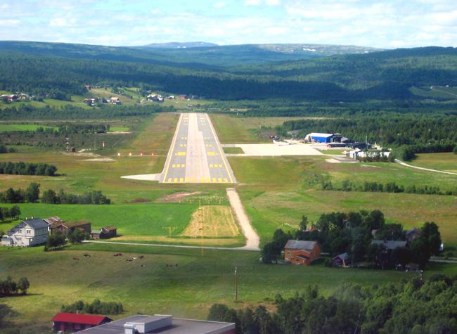
| Pistes Runways |
|
|||||||||||||||||||||||||
| Radio ATC |
|
|||||||||||||||||||||||||
| Altitude de référence Reference elevation |
2053 ft | |||||||||||||||||||||||||
| Distance de la ville Distance of the city |
1,8 km W Røros | |||||||||||||||||||||||||
| Déclinaison Magnetic varation |
3° E | |||||||||||||||||||||||||
| Gestionnaire de l'AD AD administration |
Avinor (+47) 67 03 24 60 |
|||||||||||||||||||||||||
| Douanes Customs |
Lun → Ven / Mon → Fri 0700 – 1430 PN 3 HR |
|||||||||||||||||||||||||
| ATS |
Lun → Jeu / Mon → Thu 0530 – 1420 / 1730 – 1820 Ven / Fri 0530 – 1420 / 1730 – 1850 Sam / Sat Fermé / Closed Dim / Sun 1300 – 1820 |
|||||||||||||||||||||||||
| HOR AD |
Lun → Ven / Mon → Fri 0700 – 1400 |
|||||||||||||||||||||||||
| AVT |
JET A1 – 100LL |
|||||||||||||||||||||||||
| NDB / VOR-DME |
NDB RBU 401 KHz |
|||||||||||||||||||||||||
| Aéroclub / Ecole de pilotage Flying club / Flying school |
Røros Flyklubb +47 958 45 061 |
|||||||||||||||||||||||||
| Restaurant Restaurant |
A l'aéroport / At the AD Self Service |
|||||||||||||||||||||||||
| Taxis Taxis |
Taxi +47 72 41 12 58 |
|||||||||||||||||||||||||
| Vidéos Videos |
||||||||||||||||||||||||||
| Liens Links |
||||||||||||||||||||||||||
| Carte - Hôtel Map - Hotel |
Booking.com | |||||||||||||||||||||||||