Dernière modification / Last update: 21 septembre 2020
| Code |
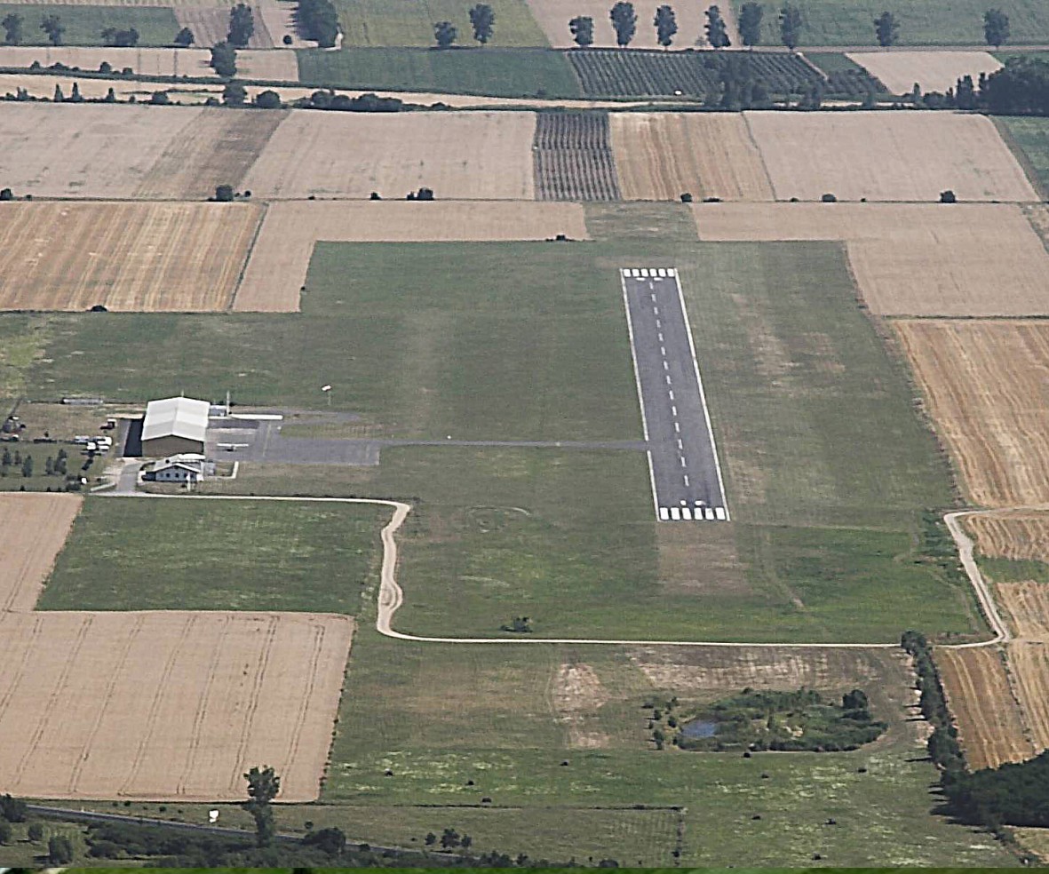
Fertőszentmiklós | |||||||||||||||||||||||||
|---|---|---|---|---|---|---|---|---|---|---|---|---|---|---|---|---|---|---|---|---|---|---|---|---|---|---|
| Coordonnées Coordinate |
|
|||||||||||||||||||||||||
| Pays Country |
Hongrie | |||||||||||||||||||||||||
| Type de trafic Type of traffic |
VFR | |||||||||||||||||||||||||
| VFR nuit Night VFR |
Non / No | |||||||||||||||||||||||||
| Pistes Runways |
|
|||||||||||||||||||||||||
| Radio ATC |
|
|||||||||||||||||||||||||
| Altitude de référence Reference elevation |
440 ft | |||||||||||||||||||||||||
| Distance de la ville Distance of the city |
2 km W Fertőszentmiklós | |||||||||||||||||||||||||
| Gestionnaire de l'AD AD administration |
Meidl Airport + 36 / 99-544-020 |
|||||||||||||||||||||||||
| Douanes Customs |
NIL |
|||||||||||||||||||||||||
| HOR AD |
0800 - SS |
|||||||||||||||||||||||||
| AVT |
100LL, JET A1, MOGAS98 |
|||||||||||||||||||||||||
| Restaurant Restaurant |
Airport Restaurant
|
|||||||||||||||||||||||||
| Taxis Taxis |
Hanság Taxi +36 30 927 9293 |
|||||||||||||||||||||||||
| Vidéos Videos |
||||||||||||||||||||||||||
| Liens Links |
||||||||||||||||||||||||||
| Carte - Hôtel Map - Hotel |
Booking.com | |||||||||||||||||||||||||