Dernière modification / Last update: 18 avril 2019
| Code |
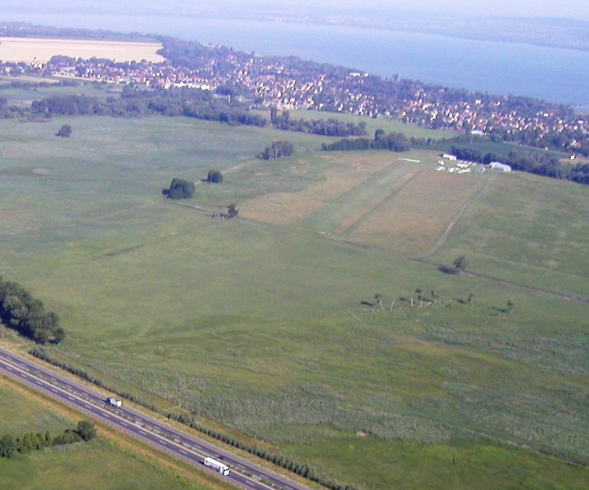
LHBK | |||||||||||||||||||||||||
|---|---|---|---|---|---|---|---|---|---|---|---|---|---|---|---|---|---|---|---|---|---|---|---|---|---|---|
| Coordonnées Coordinate |
|
|||||||||||||||||||||||||
| Pays Country |
Hongrie | |||||||||||||||||||||||||
| Type de trafic Type of traffic |
VFR | |||||||||||||||||||||||||
| VFR nuit Night VFR |
Non / No | |||||||||||||||||||||||||
| Pistes Runways |
|
|||||||||||||||||||||||||
| Radio ATC |
|
|||||||||||||||||||||||||
| Altitude de référence Reference elevation |
361 ft | |||||||||||||||||||||||||
| Distance de la ville Distance of the city |
2 km E Balatonkersztúr | |||||||||||||||||||||||||
| Gestionnaire de l'AD AD administration |
+ 36-28-416989 Sebők Vendel + 36-70-4516446 |
|||||||||||||||||||||||||
| Douanes Customs |
NIL |
|||||||||||||||||||||||||
| HOR AD |
SR → SS |
|||||||||||||||||||||||||
| AVT |
NIL |
|||||||||||||||||||||||||
| Aéroclub / Ecole de pilotage Flying club / Flying school |
Lucia Air +36 20 9788 571 |
|||||||||||||||||||||||||
| Restaurant Restaurant |
En ville / In the City |
|||||||||||||||||||||||||
| Taxis Taxis |
Keszthely Taxi +36 30 777 5444 |
|||||||||||||||||||||||||
| Vidéos Videos |
||||||||||||||||||||||||||
| Liens Links |
||||||||||||||||||||||||||
| Carte - Hôtel Map - Hotel |
Booking.com | |||||||||||||||||||||||||