Dernière modification / Last update: 18 mai 2019
| Code |
LHHH | |||||||||||||||||||||||||
|---|---|---|---|---|---|---|---|---|---|---|---|---|---|---|---|---|---|---|---|---|---|---|---|---|---|---|
| Coordonnées Coordinate |
|
|||||||||||||||||||||||||
| Pays Country |
Hongrie | |||||||||||||||||||||||||
| Type de trafic Type of traffic |
VFR | |||||||||||||||||||||||||
| VFR nuit Night VFR |
Non / No | |||||||||||||||||||||||||
| Pistes Runways |
|
|||||||||||||||||||||||||
| Radio ATC |
|
|||||||||||||||||||||||||
| Altitude de référence Reference elevation |
971 ft | |||||||||||||||||||||||||
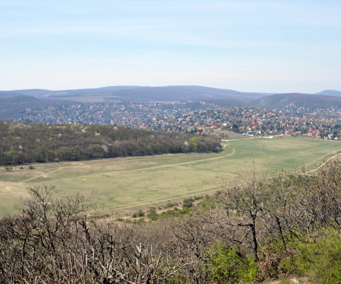
| Distance de la ville Distance of the city |
10 km NW Budapest | |||||||||||||||||||||||||
| Gestionnaire de l'AD AD administration |
Műegyetemi Sportrepülő Egyesület + 36-1-3765110 +36 20 7779 012 +36 20 7779 876 |
|||||||||||||||||||||||||
| Douanes Customs |
NIL |
|||||||||||||||||||||||||
| HOR AD |
SR → SS |
|||||||||||||||||||||||||
| PPR |
Oui / Yes |
|||||||||||||||||||||||||
| AVT |
NIL |
|||||||||||||||||||||||||
| Aéroclub / Ecole de pilotage Flying club / Flying school |
Cf Gestionnaire AD |
|||||||||||||||||||||||||
| Restaurant Restaurant |
En ville / In the City |
|||||||||||||||||||||||||
| Taxis Taxis |
Homerun Sofőrszolgálat +36 30 569 5858 |
|||||||||||||||||||||||||
| Liens Links |
||||||||||||||||||||||||||
| Remarques Remarks |
Planeurs seulement / Glider only |
|||||||||||||||||||||||||
| Carte - Hôtel Map - Hotel |
Booking.com | |||||||||||||||||||||||||