Dernière modification / Last update: 22 avril 2020
| Code |
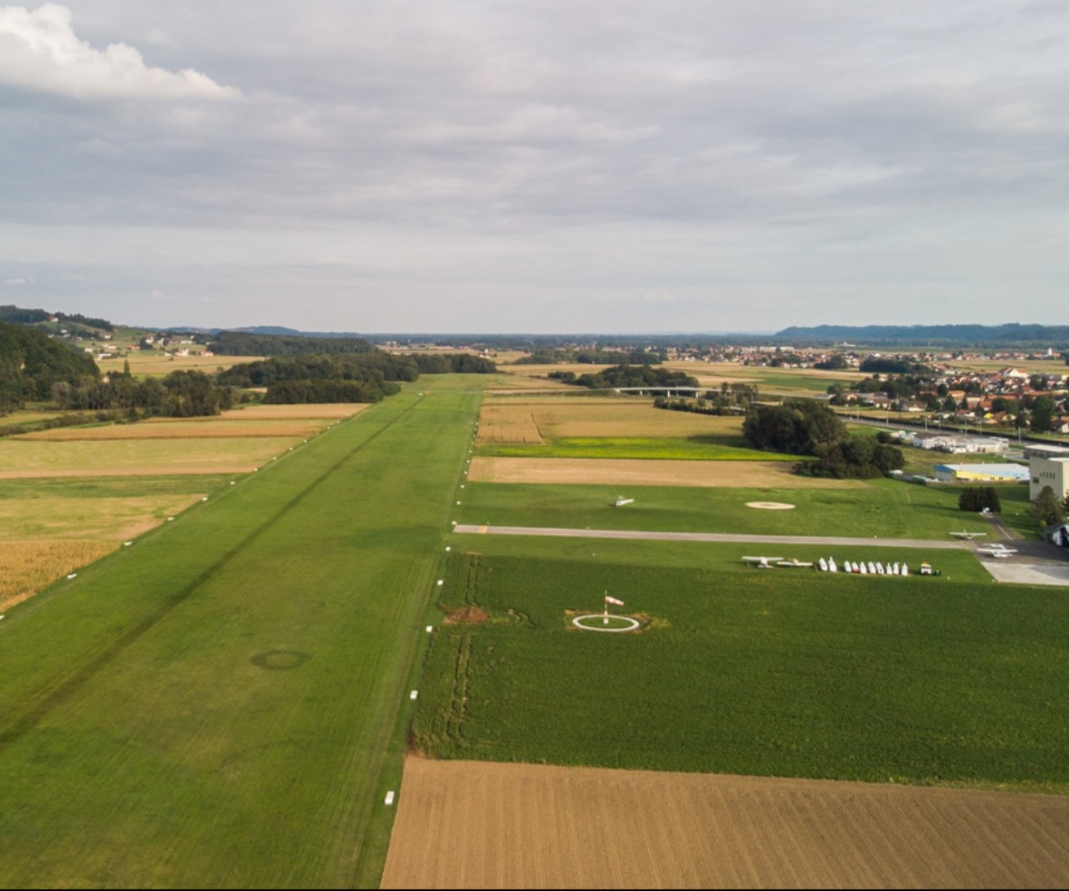
LJPT | |||||||||||||||||||||||||
|---|---|---|---|---|---|---|---|---|---|---|---|---|---|---|---|---|---|---|---|---|---|---|---|---|---|---|
| Coordonnées Coordinate |
|
|||||||||||||||||||||||||
| Pays Country |
Slovénie | |||||||||||||||||||||||||
| Type de trafic Type of traffic |
VFR | |||||||||||||||||||||||||
| VFR nuit Night VFR |
Oui / Yes | |||||||||||||||||||||||||
| Pistes Runways |
|
|||||||||||||||||||||||||
| Radio ATC |
|
|||||||||||||||||||||||||
| Altitude de référence Reference elevation |
701 ft | |||||||||||||||||||||||||
| Distance de la ville Distance of the city |
8 km E Ptuj | |||||||||||||||||||||||||
| Déclinaison Magnetic varation |
4° E | |||||||||||||||||||||||||
| Gestionnaire de l'AD AD administration |
Aeroklub Ptuj +386 2 7408 302 / +386 2 7408 206 |
|||||||||||||||||||||||||
| HOR AD |
Eté / Summer 2,3,4,5,6,7 0900 (UTC + 2)> SS-1 Hiver / Winter O / R |
|||||||||||||||||||||||||
| PPR |
Oui / Yes |
|||||||||||||||||||||||||
| AVT |
NIL |
|||||||||||||||||||||||||
| Aéroclub / Ecole de pilotage Flying club / Flying school |
Cf Gestionnaire AD |
|||||||||||||||||||||||||
| Restaurant Restaurant |
En ville / In the City
|
|||||||||||||||||||||||||
| Taxis Taxis |
Čeh Srečko +386 41 645 876 Taksi Dežman +386 41 514 045 |
|||||||||||||||||||||||||
| Liens Links |
||||||||||||||||||||||||||
| Carte - Hôtel Map - Hotel |
Booking.com | |||||||||||||||||||||||||