Dernière modification / Last update: 9 juillet 2018
| Code |
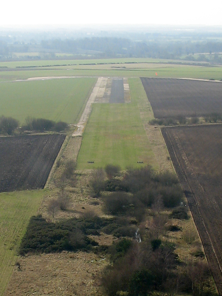
EG Little Snoring | |||||||||||||||||||||||||
|---|---|---|---|---|---|---|---|---|---|---|---|---|---|---|---|---|---|---|---|---|---|---|---|---|---|---|
| Coordonnées Coordinate |
|
|||||||||||||||||||||||||
| Pays Country |
Royaume-Uni | |||||||||||||||||||||||||
| Type de trafic Type of traffic |
VFR | |||||||||||||||||||||||||
| VFR nuit Night VFR |
Non / No | |||||||||||||||||||||||||
| Pistes Runways |
|
|||||||||||||||||||||||||
| Radio ATC |
|
|||||||||||||||||||||||||
| Altitude de référence Reference elevation |
196 ft | |||||||||||||||||||||||||
| Distance de la ville Distance of the city |
1.8 km NE Fakenham | |||||||||||||||||||||||||
| Gestionnaire de l'AD AD administration |
McAully Flying Group info@mcaullyflyinggroup.org |
|||||||||||||||||||||||||
| AVT |
NIL |
|||||||||||||||||||||||||
| Aéroclub / Ecole de pilotage Flying club / Flying school |
Cf Gestionnaire AD |
|||||||||||||||||||||||||
| Restaurant Restaurant |
Distance 1.5 km The Green Man touring caravan park +44 1328 878750 snoringgreenman@gmail.com |
|||||||||||||||||||||||||
| Taxis Taxis |
Bay Kars +44 1328 853868 Near & Far +44 1328 853636 |
|||||||||||||||||||||||||
| Vidéos Videos |
||||||||||||||||||||||||||
| Liens Links |
||||||||||||||||||||||||||
| Carte - Hôtel Map - Hotel |
Booking.com | |||||||||||||||||||||||||