Dernière modification / Last update: 4 mars 2019
| Code |
EDOH | |||||||||||||||||||||||||
|---|---|---|---|---|---|---|---|---|---|---|---|---|---|---|---|---|---|---|---|---|---|---|---|---|---|---|
| Coordonnées Coordinate |
|
|||||||||||||||||||||||||
| Pays Country |
Allemagne | |||||||||||||||||||||||||
| Type de trafic Type of traffic |
VFR | |||||||||||||||||||||||||
| VFR nuit Night VFR |
Non / No | |||||||||||||||||||||||||
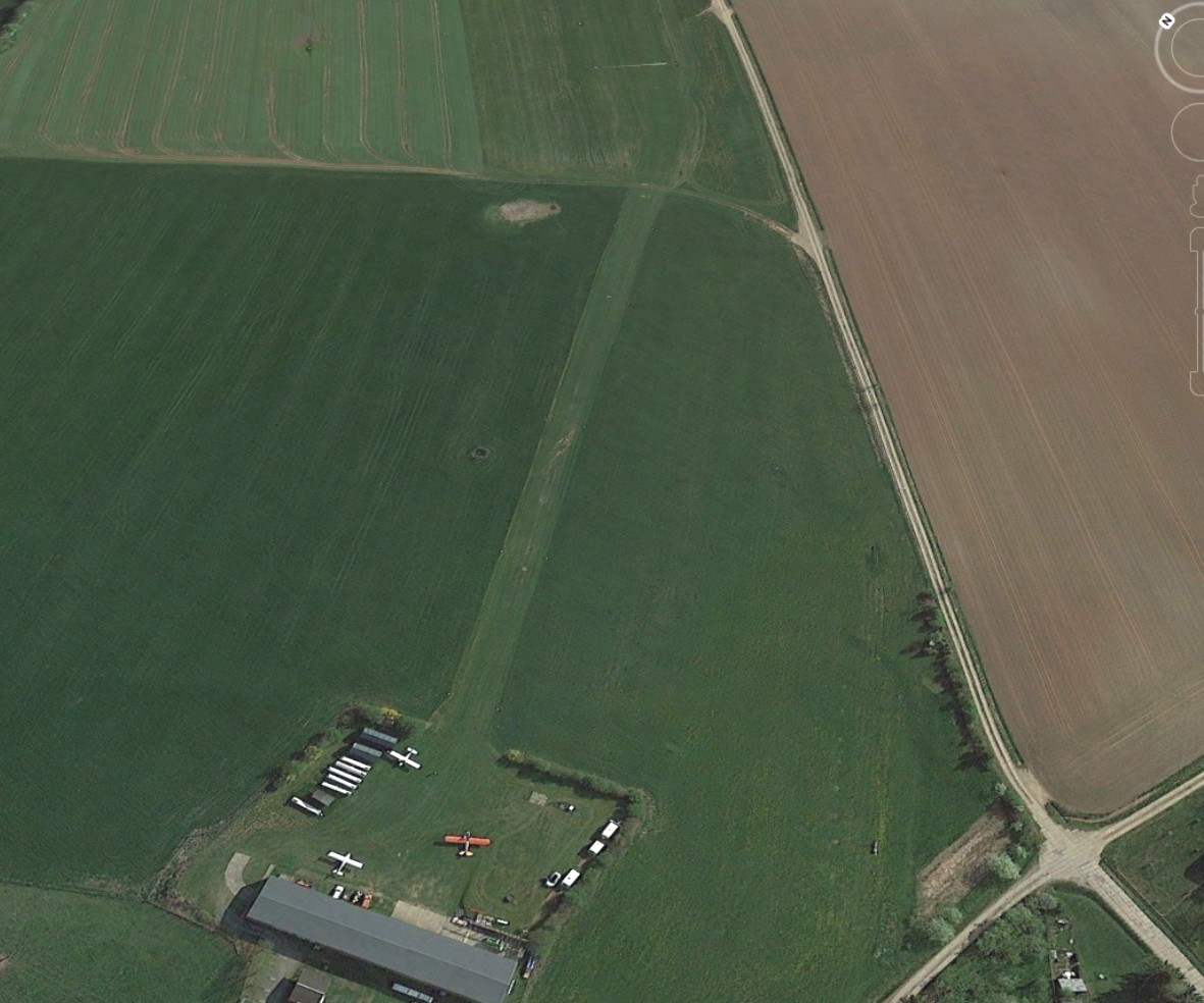
| Pistes Runways |
|
|||||||||||||||||||||||||
| Radio ATC |
|
|||||||||||||||||||||||||
| Altitude de référence Reference elevation |
1266 ft | |||||||||||||||||||||||||
| Distance de la ville Distance of the city |
8 km NW Freiberg | |||||||||||||||||||||||||
| Gestionnaire de l'AD AD administration |
Fliegerclub Langhennersdorf +49 37328 182850 |
|||||||||||||||||||||||||
| Douanes Customs |
NIL |
|||||||||||||||||||||||||
| HOR AD |
PPR |
|||||||||||||||||||||||||
| PPR |
||||||||||||||||||||||||||
| AVT |
O/R |
|||||||||||||||||||||||||
| Aéroclub / Ecole de pilotage Flying club / Flying school |
Cf Gestionnaire AD |
|||||||||||||||||||||||||
| Restaurant Restaurant |
En ville / In the City |
|||||||||||||||||||||||||
| Taxis Taxis |
Peter Fischer +49 37321 4580 Taxibetrieb Gunter Winkler +49 37328 212 |
|||||||||||||||||||||||||
| Liens Links |
||||||||||||||||||||||||||
| Carte - Hôtel Map - Hotel |
Booking.com | |||||||||||||||||||||||||